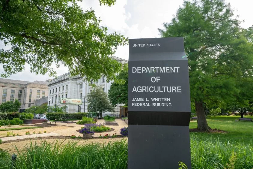
The U.S. Department of Agriculture’s National Agricultural Statistics Service (NASS) launched a collection of interactive maps to allow data users to access key Census of Agriculture information.
The newly redesigned Ag Census Web Maps application offers the public access to maps and accompanying data to help visualize, download and analyze Census of Agriculture data down to the county level. The app parses maps and statistics from the 2022 census across a number of categories including crops, producers and economics. NASS Administrator Joseph Parsons says it allows customizable ways to access the Census of Agriculture data in a way no other product can. He says for example, a user can show average value of agricultural products sold per farm, or view a county’s data for a given category.
In preparation for the 2027 Census of Ag, NASS is already asking for content change suggestions and for new producers who did not receive a 2022 Census of Agriculture questionnaire last year to sign up to be counted.
Both forms can be found at nass.usda.gov.


